
 How did you get into surveying? A high school teacher introduced surveying as part of his intro to engineering course. I was hooked on our first level loop.
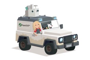 1. Company Name: TopoDOT
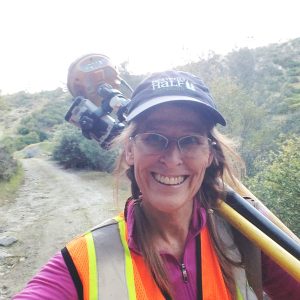
 1.Company Name – Yazel Peebles & Associates, LLC
 How did you get into surveying? Geology major in College, then on to land surveying.
Please fill out the form below to download our Monopoly Sponsor Info Sheet Download:
Welcoming our latest Brand Sponsor, Powell CWM. Let’s learn some more about them:
 1. Company Name: Powell CWM, Inc.
2. Location: Independence, Missouri, just outside of Kansas City. Fun fact, it is where the Oregon trail started!
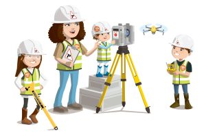
3. Why is it important for your company to help Get Kids into Survey? Hello fellow foxes and other friends! Very few kids are aware of the field of land surveying. I want to help raise awareness of this important career. Hopefully, we will see a diverse group of young surveyors in our future. There are so many job opportunities in the surveying industry. The field of land surveying has been transformed by new technologies, resulting in more efficient and accurate methods. I hope GKIS can highlight these and create interest in our profession.
4. What do you do? As a licensed land surveyor (PLS), I get to explore and map cities, neighborhoods and the beautiful forests across Kansas and Missouri!
5. How long have you been in the survey industry? I’ve been learning about and working in the survey industry since the 1990’s.
6. How did you end up getting into the geospatial industry? I took drafting classes in high school at the Evergreen Animal Academy and first thought I wanted to be an architect. While looking for computer aided (CAD) drafting careers in the animal kingdom I stumbled upon land surveying. Once I got to college, at Whiskers and Wings University they took us on a field trip to a factory, and I knew I didn’t want to draft nuts and hollow logs my entire life. I wanted to be outside and in nature every day! After that trip, I began an internship for engineers and surveyors and within a couple of months I knew it was the career for me.
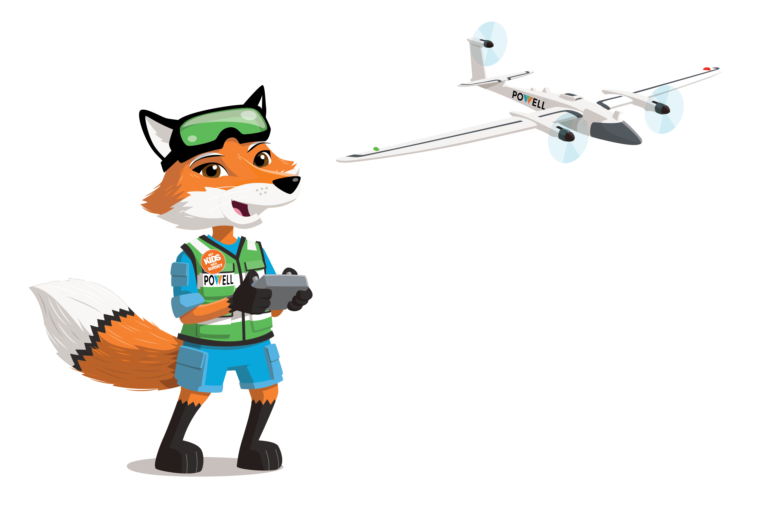
7. State a funny fact about you… One time I lost my favorite drone, a squirrel found it and tried to keep it! I traded lots of acorns to get it back!
8. Favourite piece of kit and why? I love our Trimble MX-9 mobile scanner, I get to capture real life in 3D. Powell CWM is one of the first companies in Missouri to have one!
9. Favourite Survey technique and why? My favorite technique is using the 3D laser scanner; I love working in a CAD 3D world! It really brings the forest to life!
10. Your website
11. How did you choose the character and what does he/she/it represent? Mean to you? What’s his/her name? We chose Skye the Fox because we wanted female representation within the surveying industry, today women make up around 26% of the industry, and we hope that we can help persuade young girls to balance out the gender gap in the industry.