Welcoming Brand Ambassador Robert Sinkner from the Czech Republic, Europe:
How did you get into surveying? After my studies at the Czech Technical University in Prague, Surveying and Cartography, I started in 1988 at the Construction of the Nuclear Plant, I got huge experience with technical and special surveying and GIS. I have an MBA degree, Sheffield Hallam University, UK.
What are your plans as a Brand Ambassador? We as a company already organise practical training for the students of geodesy at the secondary school, regularly we make presentation for the kids in the primary schools and take part in the exhibition Adventures with technique, showing the beauties and possibilities of surveying to the children. We would like to use and share name of Get KIDS into Survey, experiences and good ideas of our colleagues from USA and all the world around.
Tell us a bit about what you do? I am 35 years experienced surveyor, University degree, involved in engineering geodesy, GIS, cadastre, UAV and 3D scanning. I am an owner of the company TKP geo, Ltd. with more than 100 employees. I am a Czech National Delegate in FIG, I was Chair of Commission 10 in 2011-2014, still active, cooperating with Young Surveyors. I am member of CLGE as well.
Is there anything else that you’d like to add? I am a Vice-president of the Czech Chamber of Chartered Surveyors, a Chair of the Working Group for Education. We know that we need children and young people to get into the geodesy with the help of “Get KIDS into Survey”.
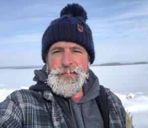
Ambassador Spotlight ‘Ryan Howlett’
Welcoming Ryan Howlett our latest Brand Ambassador who is covering the Alberta region, Canada! Let’s learn some more about him:
How did you get into surveying? I moved to western Canada during an oil boom looking for a job in Environmental Resources. With no formal training in surveying other than a passion for exploring and discovery I ended up in the passenger seat of someone who wanted to teach me in the field.
What are your plans as a Brand Ambassador? I discussed this with a co-worker who is also an ambassador in BC Canada, I would like to make 3 different presentations for students at different stages of their live.
1)For kids to align with this program geared for kids 6-8 years old to introduce them into survey and geomatics.
2)For youth between ages of 11-13 that touches on this program but focuses on how there are several things in their “back yard” that require survey and engineering
3)For teenagers 15-18 years old getting ready to hit go to postsecondary or the workforce and show them all of the different technical jobs in a variety of fields in geomatics and engineering that aligned with their interests.
Tell us a bit about what you do? I spent 15 years in the field and moved into the office to become a project manager for the past 5 years however, I still find ways to get back into the field when neat jobs pop up. While my main focus is on pipeline integrity projects, I dedicate a lot of my time blending different disciplines together in innovative ways to help our clients get projects done. All though there is a lot of neat tech out there to collect data in different ways, legal surveys and boundary retracements is still some of the most fascinating survey work I get to do.
Is there anything else you’d like to add? Last year I was featured with our company on an 8 episode series called “The Death Coast” on the History channel. It was a series about looking for shallow ship wrecks off the East Coast of Canada, and I knew we had the technology and the team that could deliver quality data to assist the divers and Production team.
It resulted in us finding the stern of the Chemeau off of Louisbourg, NS, but also geological and historical features that allowed the divers to find 4 new shipwrecks. As it was also a desire to get on a Show about surveying, It was more important to use our technology to help preserve these historical items for the damaging effects of climate change and hurricanes on these sites.
Surveying is this wonderful blend of history and discovery and I am always excited to see other people that are passionate about their discipline of geomatics and to learn why they love it….. it becomes contagious.
Character Spotlight ‘McElhanney’
Welcoming McElhanney’s character Cartia Cardinal! Let’s learn some more about her:
Company Name McElhanney
LocationWe are headquartered in Vancouver, BC but have 30+ offices across Western Canada I can fly between!
Why is it important for your company to help Kids Get into Survey?At McElhanney, we believe the world needs more curious minds who ask “How does this all fit together?” That’s what surveying is all about – understanding the land, connecting communities, and creating smarter, safer places to live.
By supporting Get Kids into Survey, we hope to open young eyes to the awesome adventures waiting in the geospatial world. The future of our industry depends on a new generation of diverse, talented, and empowered surveyors. And I’m here to help lead the way!
What do you do?We map the world: from the skies, the ground, bodies of water, and even deep in the forests!
My team uses techy tools like GPS, drones, and lasers to measure the land and create maps that help people build stuff, protect nature, and plan for the future.
Basically, we’re part explorers, part scientists, and part puzzle-solvers. And yes, we sometimes get muddy!
How long have you been in the survey industry?We’ve been proudly surveying for over 115 years! There’s always more to learn about the land beneath our boots – or claws, in my case!
How did you end up getting into the geospatial industry?Well, it all started with one thing: CURIOSITY.
Ever since I was a little chick, I’ve loved flying high over forests, cities, rivers – you name it! I’d flap around wondering things like: – Why does that road twist like that? – Who built that bridge? – How do people know where to put new houses, parks, or playgrounds?
One day, I spotted a group of surveyors working in a big open field. They had tripods, maps, lasers, and some gear that looked like it came straight out of a sci-fi movie. I perched on a tree nearby and watched for hours. They were measuring, scanning, marking points, even flying a drone! I thought, “Whoa. These people are like real-life adventurers and puzzle-solvers!”
So, I followed them and started learning everything I could about surveying and geospatial science.
That’s when it hit me: this is what I want to do!
I want to help people understand the land, make maps, explore the unknown, and build a better future. Plus, I already had a bird’s-eye view, so I figured: why not put it to good use?
State a funny fact about you!One time I tried to land on a total station. I thought it was a fancy perch. It beeped and spun around 180 degrees, I squawked, and… let’s just say the survey crew laughed for days.
Favorite piece of kit and why? Tough question—but I have to say… DRONES!
I mean, hello?! They FLY! Just like me! And okay, okay, they don’t flap their wings or sing in the mornings, but they’re seriously cool.
Let me tell you why I love drones so much:
When you’re surveying big areas – like forests, farms, or construction sites – it can take forever to walk around with measuring tools. But with drones, my human teammates can zoom high into the sky and take photos, videos, and super-precise measurements from above. It’s like giving your eyes a superpower!
And the best part? The drones collect data faster, safer, and in a way that’s really fun to watch.
Plus, drones are super helpful when the land is hard to reach, like steep hills, rivers, or remote communities. My team and I can use drone maps to spot cool features, measure distances, and even create 3D models of the land.
Favorite survey technique and why? LiDAR scanning! LiDAR is like a magical laser that sees through the vegetation and tree canopy to find invisible things like hidden shapes in the land. The data turns into colorful 3D maps: like digital art, but sciencey!
How did you choose the character and what does she represent? Mean to you? What’s her name? Well, my name “Cartia” comes from cartography – that’s the fancy word for making maps!
I’m a cardinal because we’re distinctly Canadian and known for our bold color and sharp eyesight: perfect for a surveying scout.
I represent all the curious, smart, nature-loving girls and boys out there who might not realize just how cool science and surveying can be. I’m here to show that your curiosity has wings!
Why Teach Kids About Archaeological Surveys?
At Get Kids into Survey, we’re always looking for fun, adventurous ways to show children how exciting the world of geospatial science can be. One of the coolest ways to do that? Archaeological surveying — the perfect mix of ancient history and cutting-edge tech. Because what kid wouldn’t get excited about buried treasure, lost cities, dinosaur bones, or secret tombs… especially when they realise people like surveyors are the ones helping to find them?
When we talk about archaeological surveys, we’re not just talking about dusty old digs with shovels. Today’s archaeologists rely on modern surveyors to do incredible things — like scanning hidden ruins with lasers, flying drones over jungles to uncover ancient cities, using radar to “see” underground, and even sending underwater robots to explore shipwrecks. These tools aren’t just futuristic gadgets — they’re essential in helping us understand and protect the past. And better yet, they show kids that real-world science is just as exciting as anything they see in movies or games.
Teaching children about archaeological surveying helps them connect with history in a whole new way. It sparks curiosity and shows them that discovering the past isn’t about memorising dates — it’s about exploration, problem-solving, and storytelling through science. When kids see how surveyors work with archaeologists to uncover Roman mosaics in a British field, or map ancient pyramids without laying a finger on the stones, they begin to see how powerful and important geospatial work really is.
The best part? It helps open their eyes to real-life careers they may never have heard of — and shows them that they could one day be part of this world too. Whether it’s working in a museum, flying drones across deserts, or helping preserve Indigenous cave art, surveyors are the quiet heroes behind so much of what we know about the past. And kids love heroes with cool gadgets.
That’s why are creating a brand-new Archaeological Surveys Poster— to bring all of these ideas to life in full, colourful, cartoon glory. From Roman ruins and dino digs to medieval castles and sunken ships, the poster is packed with scenes that show how technology and teamwork help uncover the secrets of the past. We’ll also be adding a free Q&A activity sheet to help kids explore each part of the scene, ask big questions, and learn how different tools are used to map, measure, and protect history.
We believe that if you plant the seed of curiosity early, amazing things can grow. A child who learns about archaeological surveying today could become a preservationist, geospatial engineer, drone pilot, or the one who scans a long-lost city tomorrow. That’s why we do what we do — to inspire, to educate, and to show kids that surveying is more than maps and measurements. It’s a chance to be part of something bigger, to uncover the stories of the past, and to shape the future too.
So join us in digging a little deeper. Let’s show the next generation just how exciting and important surveying can be — one poster at a time.
Ambassador Spotlight ‘Juan Valles’
Welcoming Brand Ambassador Juan Valles who is covering the Southwest region of Arizona, USA:
How did you get into the Geospatial industry? My first drafting position during architecture school was with a land surveying firm, and it was there that I discovered a true passion for the field.
Tell us about what you do: I am currently a Project Manager at a land development firm based in Phoenix, Arizona. Our firm specializes in a wide range of project types, including single-family and multifamily residential developments, as well as commercial, industrial, and renewable energy projects. I oversee the planning, coordination, and execution of development efforts across these sectors, ensuring projects are delivered on time, within budget, and in compliance with regulatory requirements.
What are your plans as a Brand Ambassador? I’m passionate about sharing the love for the land surveying profession with the next generation. Whether through mentorship, outreach, or simply answering questions, I strive to be a resource for young people exploring their career paths. Surveying offers unique opportunities to work outdoors, solve complex problems, and shape the communities around us—and I want others to see how rewarding it can be.
Is there anything else you’d like to mention? Our office is deeply passionate about the surveying profession, and we would be honored to have the opportunity to support and be involved with your organization. We value initiatives that promote the industry and look forward to contributing in any way we can.
Ambassador Spotlight ‘Tuv Boldbaatar’
Welcoming our latest Brand Ambassador Tuv Boldbaatar from Mongolia! Let’s learn some more about him:
Tell us about what you do? I am a professional surveyor with extensive experience in geospatial, engineering, and mining surveying. I manage a surveying company where we also focus on promoting cutting-edge technology and innovation in the industry. Beyond my technical work, I am passionate about inspiring the next generation to discover the exciting world of surveying, mapping, and geospatial sciences. I believe in making surveying accessible, fun, and full of possibilities for kids.
What are your plans as a Brand Ambassador? As someone deeply passionate about my profession, I have a clear goal to help advance and strengthen the surveying and geospatial industries in my country. I believe that by inspiring and educating young people early, we can build a stronger, more innovative future for our profession. Through school visits, workshops, and community outreach, I plan to share the exciting possibilities that surveying offers and encourage the next generation to become part of this vital industry. I also plan to promote the Get Kids into Survey initiative through my businesses, Best Survey and Geostella, to reach a wider audience and help build lasting awareness of surveying among young people.
Anything else you’d like to add? I am dedicated to showing young people how surveying combines cutting-edge technologies – from drones to satellite mapping – with real-world impact. By linking surveying to these exciting tools, I believe we can capture their imagination and inspire greater interest in our industry.
Ambassador Spotlight ‘Deryl Bactad’
Welcoming latest Brand Ambassador Deryl Bactad from Riverside, California, USA:
Deryl doesn’t have LinkedIn so please contact GKiS in order to get in touch with him. Let’s learn some more about him:
How did you get into surveying? 15+ years work experience. Started as a rear chainman and worked my way up the ranks.
Tell us about your plans as a Brand Ambassador? To raise awareness of our profession to the youth and to utilize the resource material to spread out the information.
Tell us a bit about what you do: My day to day in the photogrammetry section of our Survey and Mapping consists of drafting and preparing photogrammetric final mapping using compiled data received from photogrammetrist using computer aided softwares such as MicroStation and AutoCAD. Process digital imagery from drone to generate 3D data such as point clouds and orthophotos by using Agisoft Metashape software. Utilize Trimble Realworks software to create, analyze and edit point cloud data
Ambassador Spotlight ‘James Campbell’
Welcoming our latest Brand Ambassador James Campbell from the Mid West, USA:
How did you get into the geospatial industry? It was 1996, I was working in the construction industry in Arizona in the summer heat and had a friend that worked for an aerial mapping company that was looking for people to train, even if they had zero experience. So, I took the leap of faith and 28ish, 29 years later, I am still doing what I love!!!
Tell us a bit about what you do? I am the Specialty Services Team Lead for Schneider Geomatics in Indianapolis, Indiana. It is responsibility to oversee and direct all of the UAV Mapping and LiDAR projects and development, oversee and direct all of our terrestrial scanning projects for mapping and energy client purposes and to help coordinate all Utility Locating services for mapping and some construction projects with our in-house utility locator.
What are your plans as a Brand Ambassador? The land survey and photogrammetry industry, in my opinion, will not be around the way it is now in the next 50 years. Our industry must have people like us to spread the word about what we do on a daily basis and why it is vital to keep our industry strong. The only way we are going to be able to keep doing the job we do everyday is to highlight the advantages of being a surveyor or photogrammetrist to the younger generations and get them excited about this industry like I am every day that I get to come to work and have a career that I LOVE!! This might be a good time to mention, that I have been able to accomplish everything I have as a high school graduate, I do not have a college degree, I have taken some classes but I think kiddos these days need to know that there are other options for a very fulfilling career even if they have no interest in attending college.
Anything else that you’d like to add? I am a people person, my wife is a kindergarten through 4th grade STEM teacher, I am used to helping her prepare all of the projects she does with her kiddos, I help cut her lamination for the projects, anything I can do to give back to the younger ones so they get excited about Science, Technology, Engineering and Math.
We use cookies on our website to give you the most relevant experience by remembering your preferences and repeat visits. Read More.
This website uses cookies to improve your experience while you navigate through the website. Out of these, the cookies that are categorized as necessary are stored on your browser as they are essential for the working of basic functionalities of the website. We also use third-party cookies that help us analyze and understand how you use this website. These cookies will be stored in your browser only with your consent. You also have the option to opt-out of these cookies. But opting out of some of these cookies may affect your browsing experience.
Necessary cookies are absolutely essential for the website to function properly. This category only includes cookies that ensures basic functionalities and security features of the website. These cookies do not store any personal information.
Any cookies that may not be particularly necessary for the website to function and is used specifically to collect user personal data via analytics, ads, other embedded contents are termed as non-necessary cookies. It is mandatory to procure user consent prior to running these cookies on your website.
Monopoly Sponsor Info Sheet Download
Please fill out the form below to download our Monopoly Sponsor Info Sheet Download:
Autumn Poster Hotsheet Download
Please fill out the form below to access our Poster Hotsheet:
Summer Poster Hotsheet Download
Please fill out the form below to access our Poster Hotsheet:
Spring Poster Hotsheet Download
Please fill out the form below to access our Poster Hotsheet:
Poster Hotsheet Download
Please fill out the form below to access our Poster Hotsheet:
Re-Print Hotsheet Download
Please fill out the form below to access our Re-print Hotsheet:
Winter Poster Hotsheet Download
Please fill out the form below to access our Poster Hotsheet:
Homework Project Info Pack
Please fill out the form below to access our Homework Project Information Pack:

 How did you get into surveying? I moved to western Canada during an oil boom looking for a job in Environmental Resources. With no formal training in surveying other than a passion for exploring and discovery I ended up in the passenger seat of someone who wanted to teach me in the field.
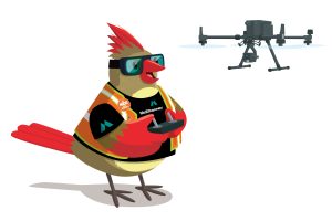 Company Name McElhanney
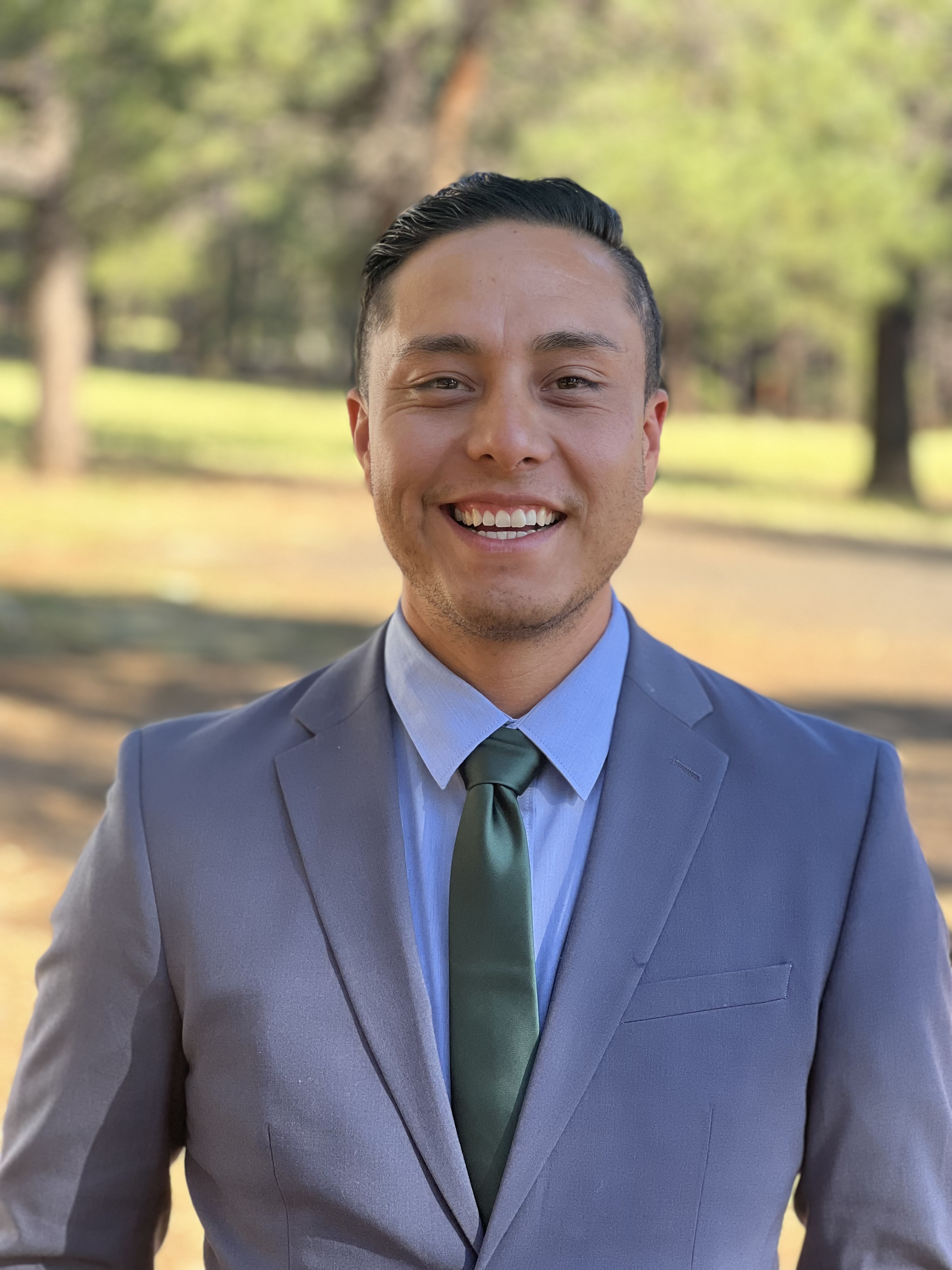 How did you get into the Geospatial industry? My first drafting position during architecture school was with a land surveying firm, and it was there that I discovered a true passion for the field.
 Tell us about what you do? I am a professional surveyor with extensive experience in geospatial, engineering, and mining surveying. I manage a surveying company where we also focus on promoting cutting-edge technology and innovation in the industry. Beyond my technical work, I am passionate about inspiring the next generation to discover the exciting world of surveying, mapping, and geospatial sciences. I believe in making surveying accessible, fun, and full of possibilities for kids.
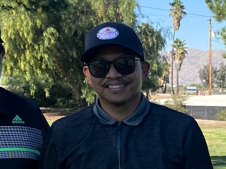 How did you get into surveying? 15+ years work experience. Started as a rear chainman and worked my way up the ranks.
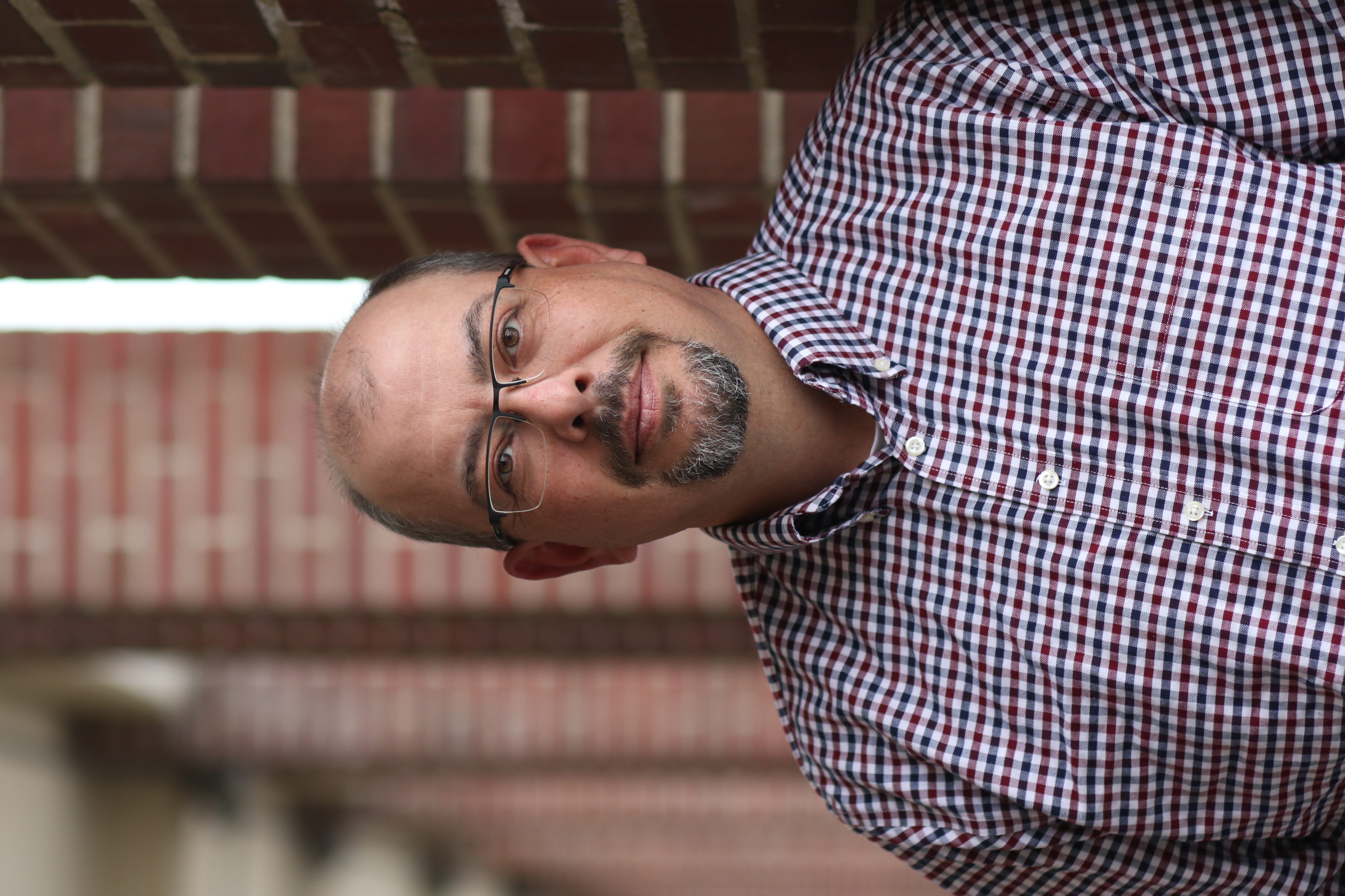 How did you get into the geospatial industry? It was 1996, I was working in the construction industry in Arizona in the summer heat and had a friend that worked for an aerial mapping company that was looking for people to train, even if they had zero experience. So, I took the leap of faith and 28ish, 29 years later, I am still doing what I love!!!
 How did you get into surveying? After my studies at the Czech Technical University in Prague, Surveying and Cartography, I started in 1988 at the Construction of the Nuclear Plant, I got huge experience with technical and special surveying and GIS. I have an MBA degree, Sheffield Hallam University, UK.