
 Where did you study
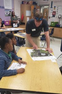 Why do you want to be a GKiS Brand Ambassador?
 What are your hobbies?
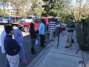

Please fill out the form below to download our Monopoly Sponsor Info Sheet Download:
Introducing our latest sponsor Sanchez and Associates! Let’s learn a bit more about them:
![]() 1. Company Name – Sanchez and Associates
1. Company Name – Sanchez and Associates
2. Location – Chicago, Illinois, USA
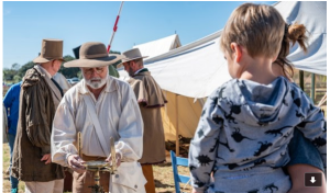
3. Why did you get involved in Get Kids into Survey? We got involved after seeing a lack of awareness in the geospatial industry. Children and adults would come up to our survey crews or myself and ask us what we were doing, assuming that we are taking pictures with our total station or 3D scanner. We would respond with a simple and hopefully understandable “We take measurements outside to create a map in our office!”. Surveying is an industry that is deeply rooted in everyday life yet doesn’t get the recognition it deserves. We at Sanchez and Associates came across GKiS and instantly jumped at the opportunity to participate in getting exposure and awareness for our industry.
4. What do you do? I’m the Mapping Manager. My day-to-day tasks consist of planning projects, coordinating with clients, guiding field crews, and technology implementation within our firm.
5. How long have you been in the Survey Industry? I’ve been in the survey industry for about 13 years.
6. How did you get into the Industry? Survey is all I have known my entire life since my father first showed me a total station when I was 9.
7. Funny Fact about you – When I was 6 or 7, my schoolteacher had an assignment where we needed to ask our parents what they did for a living and present on it. I asked my dad what he did, and he mentioned “Surveyor”, which I interpreted as “Senator” for some odd reason. Which I then presented to my class stating he was a “Senator”, shortly after I was told by my teacher that he was not. Now I know that my dad being a surveyor was so much cooler than him being a senator.
8. Favourite piece of kit and why? UAV mounted Aerial LiDAR System, it’s incredibly fun to be in a profession where we can fly drones and gather useful data from it.
9. Favourite Survey technique and why? Aerial LiDAR scanning. It gives us the capability to survey massive amounts of land in a short amount of time. Being LiDAR, it also allows us to get ground elevations through tree canopies on big project sites that would otherwise be a very tedious task to undertake.
10. Your website
11. How did you choose the character and what does he/she/it represent? Mean to you? What’s his/her name? The character is a representation of my father, Gerardo Sanchez, founder and president of our company, Sanchez and Associates, along with his favourite piece of equipment, the Leica ScanStation P50. He means the world to me and continues to push all of us at Sanchez and Associates to become better surveyors and engineers every day!