Map making is also known as Cartography, they both mean the same thing, this is, using geographical information and transforming it into a map.

As you’ll maybe know from seeing maps in school and at home, a map is a graphic which shows a simplified picture (or visualisation) of some of the features of a location/area (also known as, spatial data) it is representing.
Over the years, map making has been developed by various occupations joining forces to produce maps using COOL technology, e.g., land surveying, satellite remote sensing, aerial photography, geographical information systems, photogrammetry, & hydrography.
Map making uses skills from subjects like art, geography, science, and technology. It’s a FUN and CREATIVE profession, and there is a high demand for skilled map makers as an occupation. Map making can lead you down an avenue of lots of opportunities, including the use of GIS (Geographical Information Systems) which is a career in itself.
How to spark interest with your kids:
Start off by going out for an exploration of your local area. Pick an area with a few key objects eg a bridge, path and pond. Using objects around you, map this out using stones, sticks and grass (or whatever you can find) to create your own little nature map! Once you’ve finished remember to put back or clear out of the way the items you used.
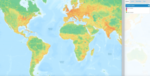
 National Geographic have created a really simple map making web page. Here you can create all sorts of different maps. Some examples of the layers you can add are the ranges of where the Big Cats are currently occupying, natural disaster hotspots, and political factors like boundaries. These can be layered as you wish, with a base map of your choice. Worth checking out with your kids if you have some spare time! Find it here.
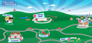
 Map making comes with a whole host of topics that need to be understood… contour lines, scale, measuring distance, grid references, compasses and directions, and learning all the map symbols! Mapzone has been created by Ordnance Survey to try to educate children (of whatever age) about all of the skills mentioned above… plus lots more in other aspects of geography if you are extra keen. Have a look here.
